| Versions | 

|
| Documentation | 
|
| Open Source | 
 |
| Coding Standards | 
|
| Development Status | |
| Funding | 
|
This package offers python tools for the CORDEX community and should make your work with CORDEX grids and meta data easy.
Most of the tools leverage the xarray API to create grid and coordinate informations and data of CORDEX domains in the
form of an xarray.Dataset directly from the official CORDEX archive specifications.
Please have a look at the introduction noteboook!
- Tools to manage CORDEX grids as xarray datasets.
- Includes coordinate transformations, bounds and vertices for CORDEX datasets.
- Utitlities for cmorization to make the CORDEX ensembles more consistent.
You can use this package, e.g., to easily access CORDEX grid definitions:
import cordex as cx

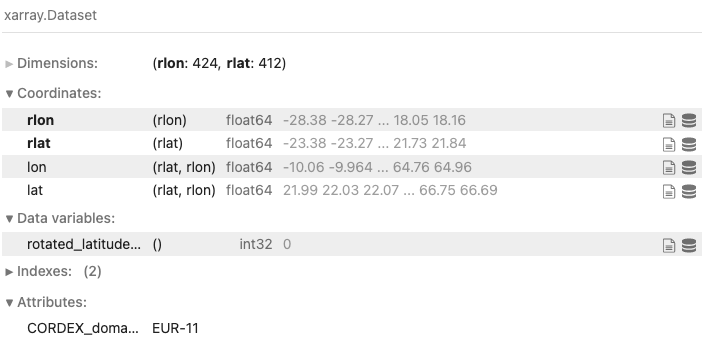
cx.domain("EUR-11")
to create an xarray Dataset:
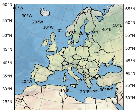
and make a quick plot using the accessor:
cx.domain("EUR-11").cx.map()For planned features, please have a look at the issues, grab one, and contribute!
You can install py-cordex using pip or conda, e.g.
pip install py-cordexor
conda install -c conda-forge py-cordexFor instructions to install py-cordex from source, please have a look at the contributing guide. If you want to contribute, please get in contact as early as possible, e.g., using draft pull requests.
This package was created with Cookiecutter and the audreyr/cookiecutter-pypackage project template.
Parts of this package have been developed within the project Pilot Lab Exascale Earth System Modelling (PL-ExaESM).

